 thingiverse
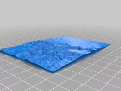
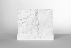
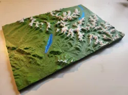
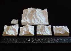
Colorado 3D Map Topography
This is a 3D map of the state of Colorado.
thingiverse
This is a 3D map of the state of Colorado.
 thingiverse
USGS data converted to topographic map Elevation height enhanced
 cults3d
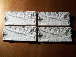
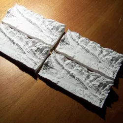
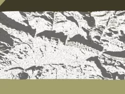
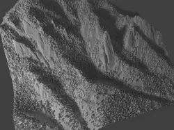
Topography- Hogbacks, Garfield County- Colorado
 thingiverse
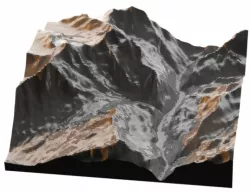
a 3D topography of Wolf Creek Pass Colorodo. Was fairly simple to make took some tweaki...
 cgtrader
From the purple mountain majesty to the amber waves of grain, experience the full entir...
 myminifactory
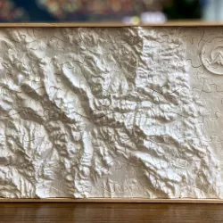
3D printed puzzle of Colorado Landscape topography . Including Denver, Vail, Winter Pa...
 prusaprinters
Topography file downloaded from: https://touchterrain.geol.iastate.edu/?trlat=40.999932...
 cgtrader
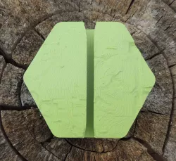
A simple magnet design, inspired by Colorado's mountain ranges. Includes a void on the...
 cgtrader
USGS data converted to topographic map Elevation height enhanced
 thingiverse
3D printable topo map of Glacier National Park. I reccomend you print it at 0.08mm laye...
 thingiverse
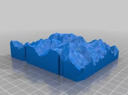
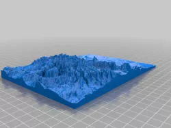
A topographic map of Colorado with Rocky Mountains.
 sketchfab
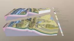
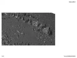
The 3D model was performed for Carter Lake Reservoir Quadrangle (Colorado), based on ar...
 thingiverse
By request, a topo of the Flatirons climbing area outside of Boulder CO. The LIDAR data...
 myminifactory
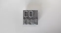
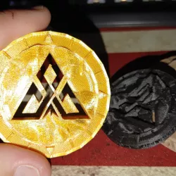
Just a maker coin that I designed for my YouTube Channel Apex Predator Outdoors. Play w...
 thingiverse
Printable Topographic map of Lauterbrunen, Wengen and Murin Switzerland with the Eiger,...
 cults3d
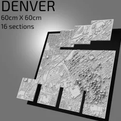
Hi fellow maker, This is a highly detailed 3D model ready to be 3D printed of the city...
 thingiverse
I'll be headed to the Rocky Mountain Rep Rap Festival in Loveland tomorrow, so I though...
 thingiverse
The bottom of the ocean and the Hawaiian Archipelago are modeled. Vertical exaggeration...
 thingiverse
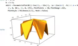
Kim Horstman George Mason University Math 401: Mathematics through 3D Printing 11/8/2...
 thingiverse
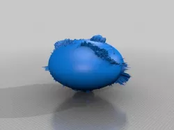
The Earth Globe 360x is flooded with oceans 360 meters deeper than yesteryear. The Eart...
 prusaprinters
TinyMtn Free Pack 13 - More HimalayasThis is a package with sets of 3D model files for ...